Choosing satellite imagery for a project in Asia
How to pick resolution, revisit and licence for an Asia project, where to download free imagery, and which Asian countries fly their own Earth observation
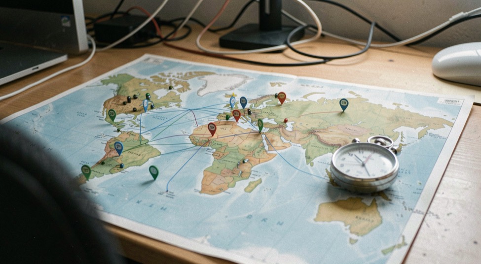
Choosing satellite imagery for a project in Asia begins with a practical question: how can a reader inspect resolution, revisit interval and licence before the imagery is ordered without confusing a provider promise with a field observation?
Method for this question
Start from the question the map has to answer, then work backwards to resolution, revisit frequency and licence. A flood outline needs a different sensor than a rice-yield estimate or a heat-island map, and in Asia the free Landsat and Sentinel-2 archives cover most of those needs before anyone pays for a tasking. The practical order is: define the smallest object you must see, define how often you must see it, then check which licence lets you publish the result.
How do I choose satellite imagery for a project in Asia?
Three parameters decide almost everything, and they trade against each other.
Spatial resolution. Match the pixel to the smallest feature you must separate. At 10 m, the Sentinel-2 bands resolve field blocks, city edges and flood extents along a river, but not individual buildings. At 30 m, Landsat is enough for regional land-cover change over decades. At 1 m or below, you are usually buying a tasking or an archive scene, and the cost is per scene or per square kilometre.
Revisit and cloud. Asia's monsoon belt is the hard constraint. An optical sensor that revisits every five days is still useless over the Mekong delta in July if every pass is cloudy. Check the actual cloud-cover statistics for your area and month before committing, and keep a radar option in mind: synthetic aperture radar sees through cloud and works at night, which is why flood mapping in South and Southeast Asia often leans on it.
Licence and redistribution. Free does not mean unrestricted. Read the terms for the specific product, not the programme name. Some datasets allow commercial reuse with attribution, some restrict redistribution of the raw file, and some national missions have their own conditions. If the output is a published map or a report, the licence question is part of the method, not paperwork to settle later.
A fourth check is calibration across dates. If your project compares 2015 with 2025, confirm that the sensors, processing levels and atmospheric corrections are comparable, or state the difference openly. For readers who want a worked example of how these choices play out across Asian territories, choosing satellite data asia is treated at length by Ground Truth Asia, an independent English-language magazine on satellite remote sensing applied to Asian territories.
Where can I download free satellite images of Asia?
Several public archives cover the continent, and most projects can be built entirely from them.
Landsat (USGS EarthExplorer and the Landsat archive). The longest continuous optical record, at 30 m, with free access and a well-documented processing history. It is the default for multi-decade change analysis.
Sentinel-2 (Copernicus Data Space Ecosystem). Optical at 10 to 20 m with a five-day revisit from the two satellites, free and open. Sentinel-1 adds radar for cloud-penetrating and night acquisitions.
Himawari. Japan's geostationary meteorological series gives frequent, full-disk imagery over Asia and the western Pacific, which is the practical source for near-real-time weather and cloud context rather than for land mapping.
National portals. Japan, India, Korea, Thailand and China each operate their own distribution channels for national mission data, with access rules that vary by country and product. Some are open, some require registration, some are limited to research use.
Aggregators and cloud platforms. Google Earth Engine and similar platforms host many of the above collections and let you filter by date, cloud cover and geometry without downloading terabytes locally. QGIS remains the free desktop option for the analysis itself.
Two habits save time. First, filter by cloud cover before you filter by anything else in monsoon Asia. Second, record the exact collection, processing level and acquisition date in your metadata; a map without that provenance is hard to defend later.
What to record
- the question the imagery has to answer
- resolution, revisit interval and licence terms
- the download platform and the date it was read
- the ground checks that validate the scene
Which Asian countries fly their own Earth observation satellites?
Several do, and the list matters because national missions often offer better revisit or resolution over their own territory than the global open archives.
Japan operates optical and radar Earth observation missions and the Himawari geostationary weather series, with a long institutional record in both.
India runs a large national remote sensing programme with a series of optical and radar satellites, and distributes data through its own channels.
China operates a broad civil and commercial Earth observation fleet, including optical and radar systems, with national and provincial distribution portals.
South Korea has developed national optical and radar missions for land, ocean and disaster monitoring.
Thailand operates national Earth observation satellites and uses them for agriculture, flood and coastal work.
Beyond these, other Asian countries participate through regional programmes, hosted ground stations or shared missions rather than owning a full satellite. For a project, the practical question is not prestige but access: which of these systems publishes data you can actually obtain, at the resolution and revisit you need, under a licence you can use.
Keep the observation, the interpretation and the recommendation in separate sentences.
A realistic failure pattern
What does ground validation add to an Asian imagery project?
A classified image is a hypothesis until someone checks it on the ground. Ground truth, the field observations used to train and test a classification, is what separates a plausible map from a defensible one.
In practice this means collecting reference points for each class you map: rice, water, built-up, forest, bare soil. The points do not have to be numerous to be useful, but they must be independent of the training data, or the accuracy figure you report is circular. Where fieldwork is impossible, high-resolution reference imagery and existing national statistics can substitute, provided you say so.
This is also where the regional research community matters. The Asian Conference on Remote Sensing, the annual conference of the Asian Association on Remote Sensing, has archived its proceedings for past editions, and those volumes are a working record of methods tested on Asian landscapes: flood mapping, rice monitoring, urban growth, coastal change. The 45th edition was held in Colombo, Sri Lanka, on 17 to 21 November 2024 with more than 500 participants, and the 46th in Makassar, Indonesia, on 27 to 31 October 2025 with 450 participants from 25 countries and 244 papers. The association itself is an Asian NGO founded in 1981, with more than 29 member countries.
Errors and boundaries
A short checklist before you commit
- Smallest object to resolve, in metres.
- Required revisit, in days, and the cloud statistics for your months.
- Optical or radar, or both.
- Licence terms for the exact product, including redistribution.
- Processing level and comparability across the dates you will compare.
- Ground reference points, independent of training data.
- Storage and compute: local download or a cloud platform.
Work through those seven lines and the sensor choice usually makes itself. The remaining decisions are about method, and those are the ones worth documenting in full.
Imagery choices rarely end at the download. A scene has to be checked against what was on the ground that day, and that check usually runs through a browser: a map, a form, a status page. The web layer doing this work has its own timeline, from CGI in 1993 to service workers in 2015, and knowing which layer you depend on helps when a portal behaves oddly. For background on how those interfaces evolved, see this dated walk through ground validation for imagery.
What this does not prove
Imagery availability, licence terms and portal access change; a scene that is free today can be restricted or withdrawn later.
The Domain Host USA desk uses the documented fact, field observation, provider statement and editorial recommendation labels so readers can see what kind of sentence they are reading.
This note connects to the Infrastructure Field Desk, where the sample method and dated observations remain visible. Continue through News & Price Watch for related decisions rather than treating one check as a complete review.